Why Surveying in Sydney is Crucial for Urban Development
Urban development plays a significant role in shaping the future of cities, and surveying is an essential component of this process. In Sydney, a vibrant metropolis characterized by its unique geography and dynamic population, accurate surveying is crucial for effective planning and construction. This article explores the multifaceted role of surveying in Sydney’s urban development, highlighting its importance, challenges, contributions to sustainability, and the future of the profession in the region.
Understanding the Role of Surveying in Urban Development
Surveying is the science of measuring distances, angles, and elevations to determine the relative position of points on the earth’s surface. In the context of urban development, it serves as the foundation upon which all planning and construction activities are built. From assessing land boundaries to facilitating infrastructure development, surveying is integral in ensuring accurate and effective urban planning.
Defining Surveying: A Brief Overview
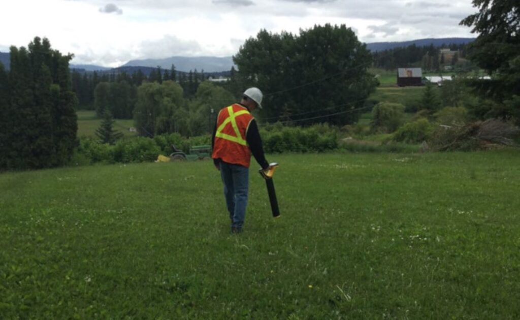
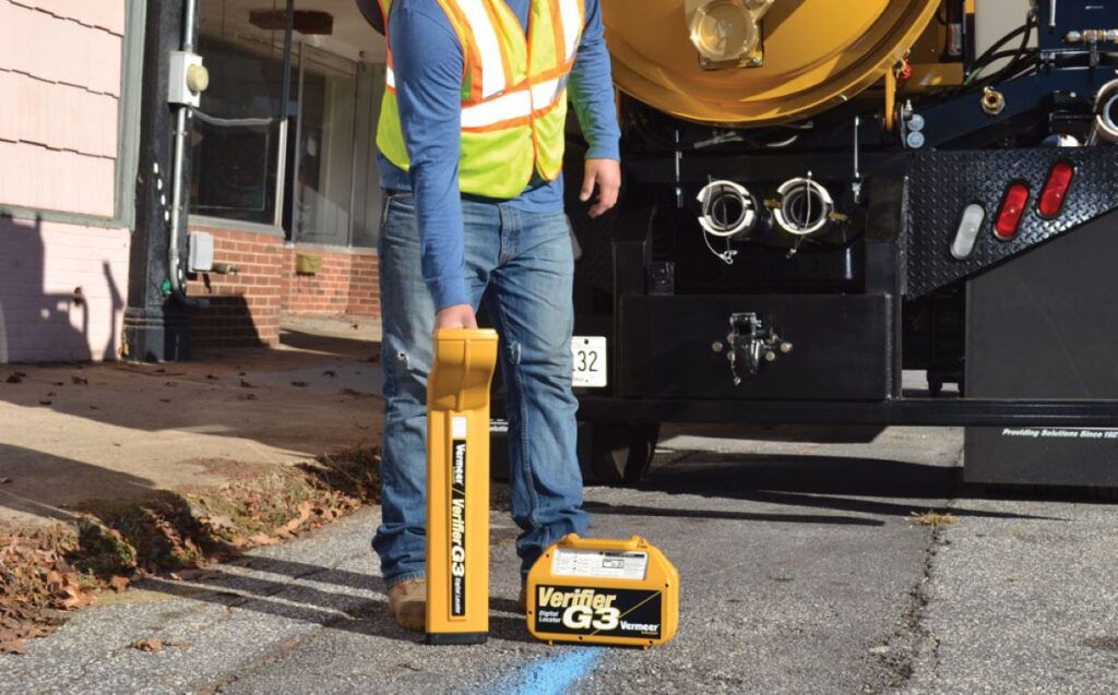
Surveying encompasses a range of techniques and technologies to provide precise measurements and data about the physical features of land. This may include traditional methods such as theodolite readings and modern technologies like GPS and drones. These tools enable surveyors of surveying Sydney to create detailed maps and models that inform various aspects of urban development.
In urban settings, surveys are used to assess land use, identify potential development sites, and ensure compliance with zoning regulations. The data collected through surveying helps architects, engineers, and planners to make informed decisions that benefit the environment and the community. Additionally, surveying plays a critical role in environmental impact assessments, where understanding the topography and existing land features can guide sustainable development practices.
The Importance of Accurate Surveying in Urban Planning
Accurate surveying is paramount in urban planning. It allows city planners to evaluate existing infrastructures, such as roads, bridges, and utilities, and to assess the feasibility of proposed developments. When surveys are precise, they minimize risks and uncertainties in construction, reducing the likelihood of costly mistakes and delays.
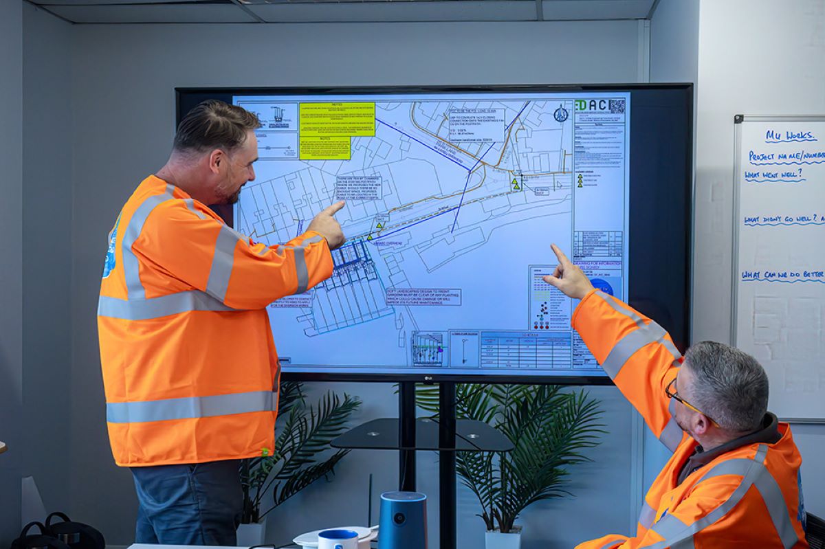
Furthermore, accurate surveys support effective communication among stakeholders, including government officials, developers, and the local community. By providing clear and reliable data, surveying fosters transparency and trust, which are essential for successful urban developments. In addition, the integration of Geographic Information Systems (GIS) with surveying data enhances the ability to visualize and analyze spatial relationships, enabling planners to address complex urban challenges such as traffic congestion, resource allocation, and environmental conservation. This synergy between surveying and technology not only streamlines the planning process but also empowers communities to engage in meaningful discussions about their urban landscapes.
The Unique Challenges of Urban Development in Sydney
Developing urban areas in Sydney presents a range of unique challenges. The city is known for its stunning harbor, beautiful beaches, and iconic landmarks, but its geographic features can complicate development projects. Fluctuating population growth and environmental regulations further exacerbate these challenges, demanding innovative solutions from surveyors and urban planners.
Sydney’s Geographic and Climatic Considerations
Sydney’s landscape includes a mix of hills, waterways, and coastal regions, all of which influence the design and implementation of urban projects. The city faces natural hazards such as flooding, bushfires, and coastal erosion, which must be taken into account during the surveying process.
Moreover, Sydney’s climate—characterized by warm summers and mild winters—impacts both construction methods and the sustainability of new developments. Surveyors must consider these geographic and climatic factors to ensure that projects are safe, resilient, and conducive to long-term urban sustainability. For instance, the integration of green infrastructure, such as rain gardens and permeable pavements, can mitigate flooding risks while enhancing the urban landscape. Additionally, the use of materials that withstand extreme weather conditions is crucial for maintaining the integrity of structures over time.
Population Growth and Urban Expansion in Sydney
As one of Australia’s largest cities, Sydney is experiencing substantial population growth, which drives the need for expanded urban infrastructure. The influx of residents often leads to increased demand for housing, transportation, and amenities, placing immense pressure on city planners and surveyors.
To accommodate this growth sustainably, surveyors must conduct comprehensive assessments of land use and density. This data is essential for identifying suitable development areas and creating plans that can support an expanding population while preserving the unique character of Sydney. Furthermore, the challenge of balancing high-density living with the need for green spaces is paramount. Urban planners are increasingly looking at innovative solutions such as vertical gardens and rooftop parks to provide residents with access to nature, which is vital for mental health and community well-being. Additionally, the integration of public transportation options is crucial to reduce traffic congestion and promote a more sustainable urban environment, ensuring that Sydney remains a livable city for future generations.
How Surveying Contributes to Sustainable Urban Development
Sustainable urban development seeks to balance economic, social, and environmental considerations in city planning. Surveying plays a vital role in this process by providing the data necessary to create developments that are environmentally responsible and socially inclusive.
Surveying and Environmental Impact Assessment
One of the primary functions of surveying in sustainable urban development is to conduct environmental impact assessments. These assessments evaluate how proposed developments might affect local ecosystems, water quality, and air pollution, among other factors.
By utilizing advanced surveying techniques, planners can identify environmentally sensitive areas that require protection, enabling them to create strategies that mitigate negative impacts. Thus, surveying not only informs developers of potential restrictions but also promotes responsible development that aligns with sustainability goals.
Moreover, the integration of Geographic Information Systems (GIS) in surveying has revolutionized how environmental data is analyzed and presented. GIS allows for the visualization of complex data sets, making it easier for stakeholders to understand the potential impacts of a project. This technology facilitates public engagement by providing clear, accessible information that can help local communities voice their concerns and preferences, ensuring that development projects reflect the needs and values of those who will be affected by them.
The Role of Surveying in Infrastructure Planning
Infrastructure is the backbone of any urban environment. Surveying provides critical data required for designing and implementing infrastructure projects such as roads, bridges, and public transportation systems. This data ensures that new infrastructure integrates seamlessly with existing systems and meets the community’s growing needs.
Additionally, surveys help identify suitable locations for new infrastructure and assess their impact on the surrounding area. By supporting informed decision-making, surveying enhances the efficiency and effectiveness of urban infrastructure projects.
Furthermore, the role of surveying extends beyond initial planning phases; it is essential throughout the lifecycle of infrastructure projects. Continuous monitoring through surveying techniques allows for the assessment of structural integrity and environmental compliance over time. This ongoing evaluation is crucial for adapting to changing urban dynamics, such as population growth or shifts in transportation patterns, ensuring that infrastructure remains resilient and sustainable in the long run. By fostering a proactive approach to urban infrastructure management, surveying contributes significantly to the overall health and sustainability of urban environments.
The Future of Surveying in Sydney’s Urban Development
As technology and urban dynamics continue to evolve, the field of surveying is also undergoing significant transformations. The future of surveying in Sydney will undoubtedly be influenced by these advancements, shaping the way urban development is approached in the coming years.
Technological Advancements in Surveying
The integration of technology in surveying has led to remarkable improvements in accuracy and efficiency. Innovations such as 3D laser scanning, Geographic Information Systems (GIS), and drone surveying are revolutionizing traditional methods. These technologies allow surveyors to gather extensive data quickly and create detailed topographic maps and models.
Moreover, the use of sophisticated software for data analysis facilitates better visualization and planning. This technological shift not only improves the accuracy of surveys but also enhances collaboration among stakeholders involved in the urban development process. For instance, real-time data sharing through cloud-based platforms enables architects, engineers, and city planners to make informed decisions swiftly, reducing delays and optimizing resource allocation. The ability to visualize complex data in 3D also allows for more effective communication with the public, fostering transparency and community engagement in urban planning initiatives.
The Increasing Demand for Surveying Professionals in Sydney
As urban development continues to expand in Sydney, the demand for skilled surveying professionals is on the rise. This demand is driven by the need for precise data and expert analysis to support ongoing growth while meeting environmental and regulatory standards.
In response, educational programs and training initiatives are evolving to equip new generations of surveyors with the skills necessary to thrive in this dynamic field. The combination of technological proficiency and a strong understanding of urban planning principles will be crucial for future surveyors as they navigate the complexities of Sydney’s urban landscape. Additionally, the incorporation of sustainability practices into surveying education is becoming increasingly important, as surveyors are now expected to contribute to environmentally responsible development. This includes understanding the impacts of land use changes, advocating for green spaces, and integrating climate resilience strategies into their work. As a result, surveying professionals are not only seen as technical experts but also as vital contributors to the overall health and livability of urban environments.
In conclusion, surveying is an indispensable element of urban development in Sydney. Its role in providing accurate measurements, aiding sustainable practices, and adapting to technological advancements demonstrates its significance in shaping the future of this vibrant city. As Sydney continues to grow and evolve, the importance of surveying will only increase, ensuring that urban development remains efficient, responsible, and aligned with the community’s needs.
Related : A Guide to Utility Solutions for Construction and Infrastructure